

LMCE provides professional topographic surveying services throughout Woodland, Davis, Sacramento, and surrounding Northern California communities. Whether you are planning a new development, designing grading and drainage improvements, or documenting existing site conditions before construction,
our licensed land surveyors deliver the precise elevation and feature data your project team needs to design with confidence.
With decades of surveying experience and advanced technology including GPS,
robotic surveying equipment, and RTK drone mapping, our team produces detailed, dependable topographic information for residential, commercial, agricultural, and public projects.
If you're searching for topographic surveyors near Woodland, Davis, or Sacramento, LMCE is ready to help.
Topographic Surveying in Woodland, Davis & Sacramento, CA
Accurate topographic surveys you can build on.
If you have a project you'd like to speak with us about, please submit a request and we will be in touch.
Since 1953
Civil Engineering
Land Surveying
Planning
Northern & Central California
What is a Topographic Survey?
Experts in topographic mapping since 1953
A topographic survey documents the natural and built features of a property — its elevations, terrain, contours, and visible improvements.
The result is a detailed, measurable map showing exactly what exists on the site and how the land rises and falls across it.
Engineers, architects, developers, and contractors rely on topographic surveys as the starting point for site design. Accurate elevation data drives grading plans, drainage design, utility layouts, and building placement — getting it right at the beginning prevents costly redesigns later.
What's Included in Our Topographic Surveys
Our topographic surveying services include:
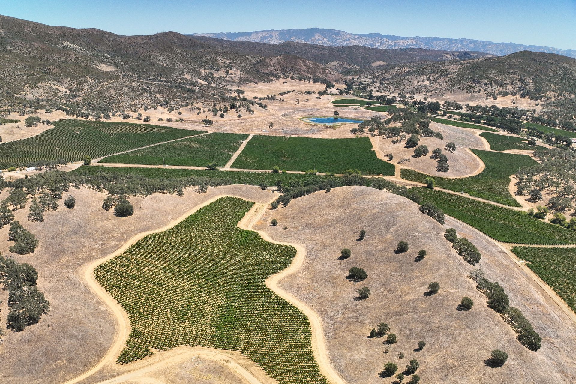
Elevations and Contour Mapping
Precise elevation measurements across the site, presented as contour lines, spot elevations, and digital surface models that show how terrain slopes and drains.
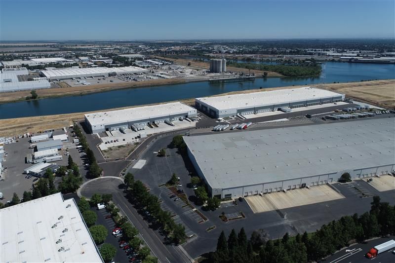
Buildings and Site Improvements
Documented locations of buildings, structures, pavement, curbs, fences, retaining walls, and other improvements.
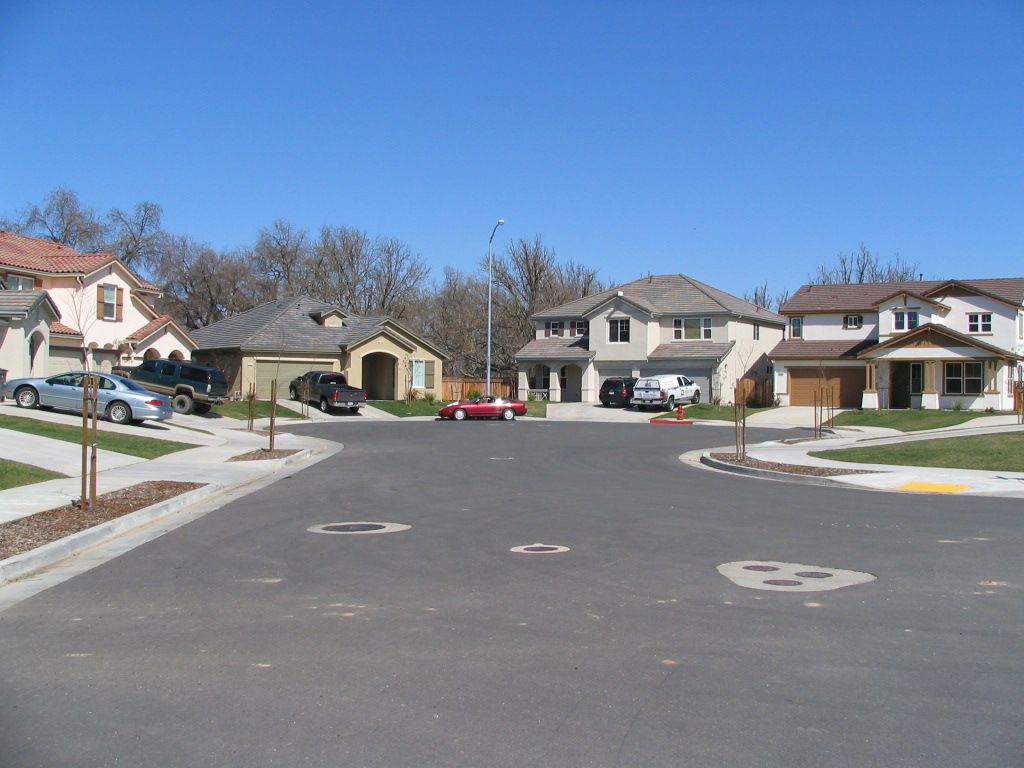
Utilities and Infrastructure
Visible utilities, manholes, catch basins, meters, poles, and above-ground infrastructure mapped for design coordination.
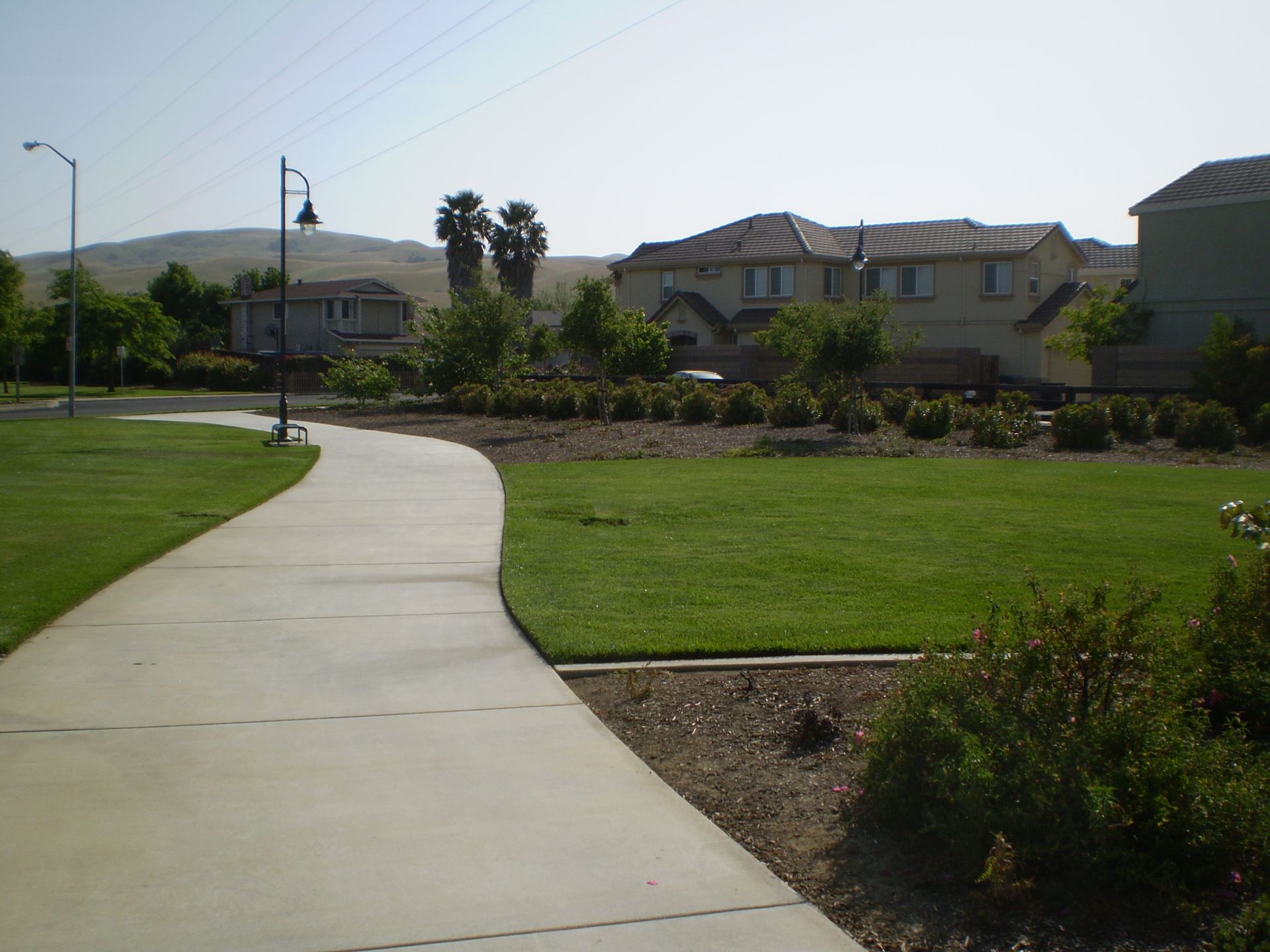
Trees and Vegetation
Significant trees, landscaping, and vegetation documented by location and size where required.
Drainage Features
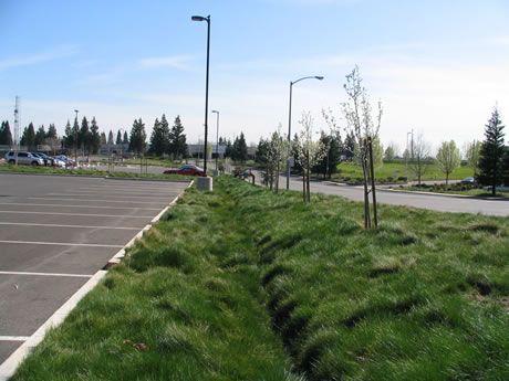
Creeks, ditches, swales, ponds, and other drainage features located to support stormwater and grading design.
Boundary Reference
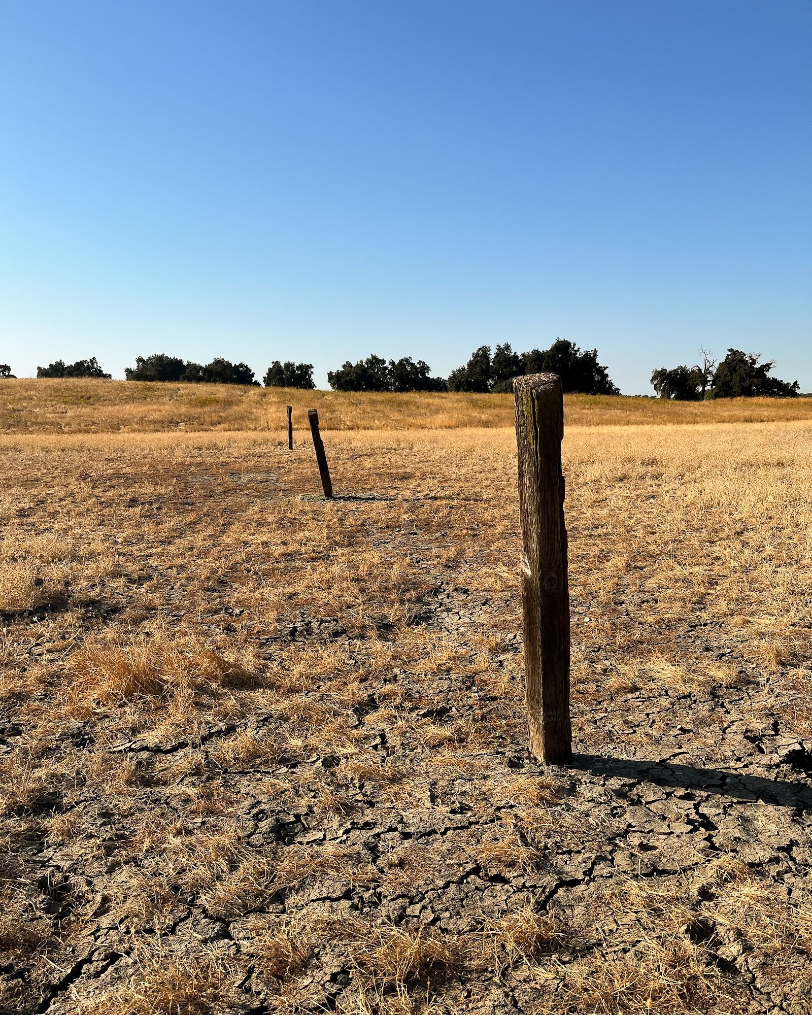
Property lines and corners shown for reference so the topographic information ties directly to the legal limits of the site.
Project-Ready Deliverables
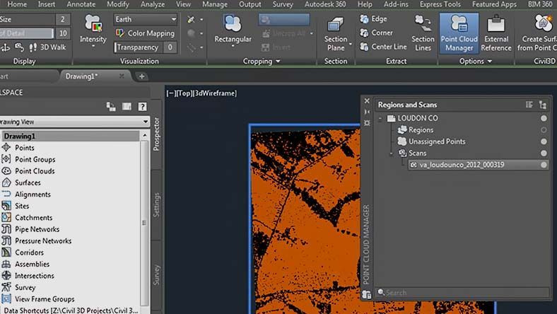
Survey data delivered in the formats your design team uses — CAD drawings, Civil 3D surfaces, PDF maps, and digital elevation models.
Topographic Surveys for Engineers, Architects & Developers
Topographic surveys are often the first field work ordered on a development project. Design professionals rely on accurate existing-condition data before preparing site plans, grading plans, utility designs, drainage studies, and entitlement applications.
Our team regularly supports: commercial developments, residential subdivisions, industrial facilities, mixed-use projects, agricultural properties, schools and campuses, and public infrastructure projects.
We work closely with project teams to make sure survey information is complete, accurate, and delivered on schedule — in file formats that drop straight into your design workflow.
Topographic Surveys for Homeowners
Homeowners planning improvements often need a topographic survey before design begins. Accurate elevation and site information helps architects and engineers design additions, accessory dwelling units (ADUs), pools, retaining walls, and drainage solutions that fit the property.
A topographic survey can also identify drainage patterns and low areas that contribute to standing water or runoff issues — so problems get solved in the design, not after construction.
Our Approach
Integrated Aerial and Ground Surveying
LMCE combines RTK drone aerial mapping with GPS, robotic, and conventional ground surveying to capture comprehensive site information efficiently.
Aerial mapping documents large areas quickly and provides a consistent overhead view of terrain and improvements. Ground-based survey methods verify critical details and deliver the accuracy that engineering design demands. Our team evaluates the terrain, vegetation, site access, and required level of accuracy before selecting the right combination of methods for your project.
The Result: complete coverage, dependable accuracy, and deliverables your team can trust.

Why Choose LMCE?
Since 1953, LMCE has provided professional land surveying and civil engineering services throughout Northern California.
Clients choose us because we offer:
Experienced, licensed land surveyors
Integrated drone, GPS, and robotic survey technology
In-house civil engineering — survey and design under one roof
Civil 3D mapping and engineering workflows
Fast, responsive communication
Local knowledge of Woodland, Davis, Sacramento, and surrounding communities
Proven experience on residential, commercial, industrial, and public projects
Our commitment to accuracy, professionalism, and client service has helped us build long-term relationships throughout the region.
Areas We Serve
LMCE proudly provides topographic surveying services throughout the following regions:
Davis, CA
Dixon, CA
Winters, CA
Yolo County
Yolo County
Sacramento County
Solano County
Northern California
If your property is located outside these areas, contact our team to discuss your project.
Start Your Topographic Surveying Project With LMCE
Whether your project requires a traditional boundary survey, detailed topographic mapping, construction staking, aerial data collection, hydrographic surveying, or pipeline locating, Laugenour and Meikle has the experience and technology to help.
Contact Laugenour and Meikle Civil Engineers to discuss your project and determine which surveying methods are best suited to your site and objectives.
FREQUENTLY ASKED QUESTIONS ABOUT Topographic Surveying
How much does a topographic survey cost?
The cost of a topographic survey depends on property size, terrain, vegetation, the level of detail required, and the deliverables your project needs. Contact our office for a project-specific estimate.
How long does a topographic survey take?
Most topographic surveys are completed within a few weeks, depending on site complexity, scheduling, and the scope of mapping required.
What is the difference between a topographic survey and a boundary survey?
A boundary survey determines legal property lines and corners. A topographic survey documents existing site features and elevations — buildings, utilities, trees, terrain, and drainage. Many projects need both, and our team can perform them together.
Can a drone be used for a topographic survey?
Yes. RTK drone aerial mapping can efficiently document terrain and site features across large properties. Depending on the project, we combine aerial data with GPS and ground-based measurements to achieve the accuracy engineering design requires.
What file formats do you deliver?
We deliver survey data in the formats design teams use, including CAD drawings, Civil 3D surfaces and files, PDF maps, and digital elevation models. We'll confirm your required formats before work begins.
Do I need a topographic survey before starting design?
In most cases, yes. Architects, engineers, and contractors need accurate existing-condition information to design grading, drainage, utilities, and building placement. Ordering the survey early keeps the design process moving and avoids costly surprises.
How do I get started?
Simply contact LMCE to discuss your property and project goals. Our team will review your needs and recommend the appropriate surveying services.
Land Survey Request
With our extensive experience and client base, you can be confident that your project will be in capable hands with us. If you are prepared to collaborate with us, kindly complete our survey request form.
Contact us today to discuss your property, project goals, and civil engineering needs.